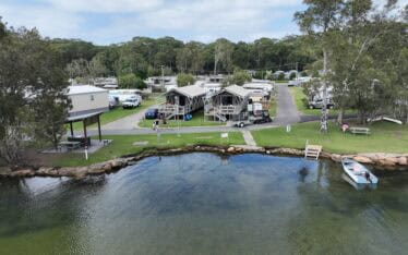
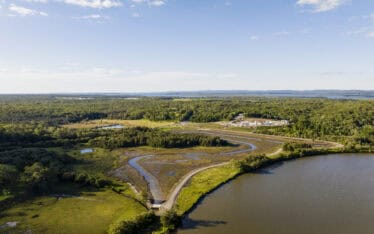
Restoring the Banks of Waterways in the Shoalhaven Region
Water Technology assessed the extent of bank erosion and determined the feasibility of bank treatment options...
Koala (Phascolarctos cinereus) populations face a range of challenges including habitat loss and fragmentation, disease and climate change. Koala populations across New South Wales and most of Australia have been decreasing in numbers over recent years. This decline has led to a series of conservation efforts across the east coast of Australia, especially after the 2019/20 bushfires.
Habitat loss is one of the primary factors responsible for the declining koala populations, making it important to have an accurate understanding of where koalas live and the factors that influence their distribution.
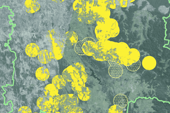
Water Technology were engaged to identify areas of known core koala habitat and potential koala habitat across the Mid-Western Regional Local Government Area. By creating a detailed map of koala habitat and connectivity corridors, we enable conservation efforts to be directed to areas where they make the most difference and are needed the most.
Survey and analyse information to guide the development of a Conservation Management Plan for the Koala within the region
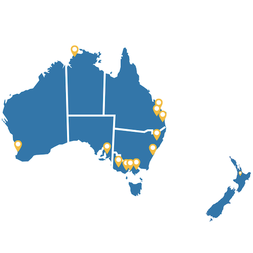
Mid-Western Local Government Area New South Wales
Mid-Western Regional Council


The first stages of the work involved:
Based on field survey results and existing data, koala habitat maps were produced to indicate areas for core koala habitat and areas for potential koala habitat. Koala connectivity was also mapped to give an indication of areas where koala movement between habitat patches or metapopulations should be considered.
This information will be used to guide conservation efforts, citizen science projects and inform land use planning to ensure the viability of the local koala populations.
Water Technology assessed the extent of bank erosion and determined the feasibility of bank treatment options...
Water Technology supported the development of the innovative mangrove wetland, from the vision to the conceptual design through to monitoring post construction...
Water Technology provided support with the design and certification of oyster reef installations, in addition to monitoring and recording changes in the upstream and downstream locations of the oyster reefs...