Restoring the Banks of Waterways in the Shoalhaven Region
Water Technology assessed the extent of bank erosion and determined the feasibility of bank treatment options...
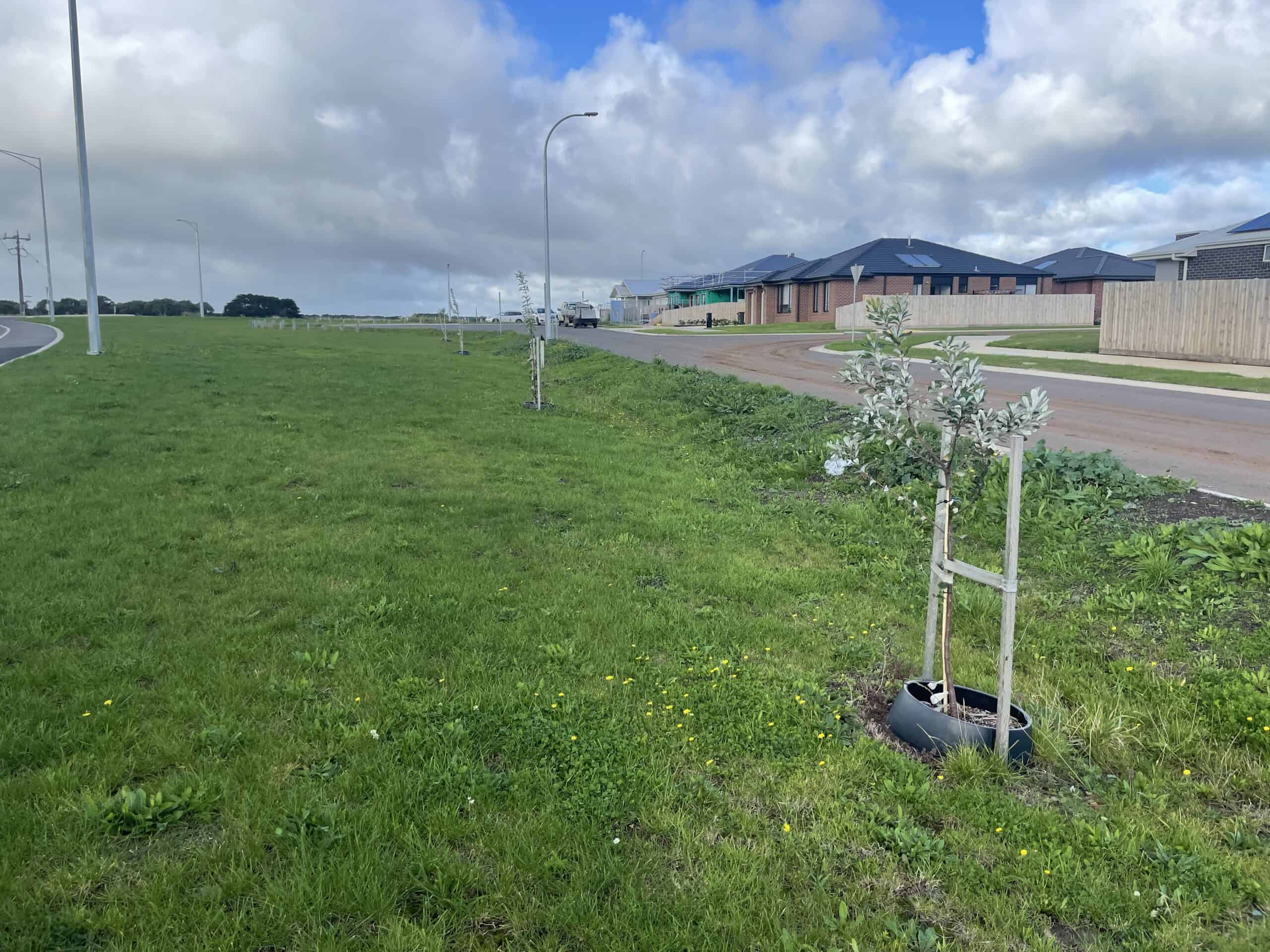
Warrnambool City Council recognised the importance of investigating the degree to which the Warrnambool community and urban systems are exposed and vulnerable to extreme heat, both now and into the future, especially with projected changes to the climate. The information was needed to update Council policies and plans and to help prepare for and mitigate the impacts of extreme heat.
Water Technology was engaged to complete an investigation into extreme heat vulnerability and mitigation approaches across the Warrnambool Local Government Area. This project involved a suite of methods, including data and spatial analysis, heat hazard modelling and mapping, stakeholder engagement to provide Council with a strong, data-informed basis for budget prioritisation, emergency management, urban planning policy, and resilience building.
The comprehensive approach involved:
Investigating extreme heat vulnerability and mitigation approaches across the Warrnambool Local Government Area
Warrnambool Victoria
Warrnambool City Council
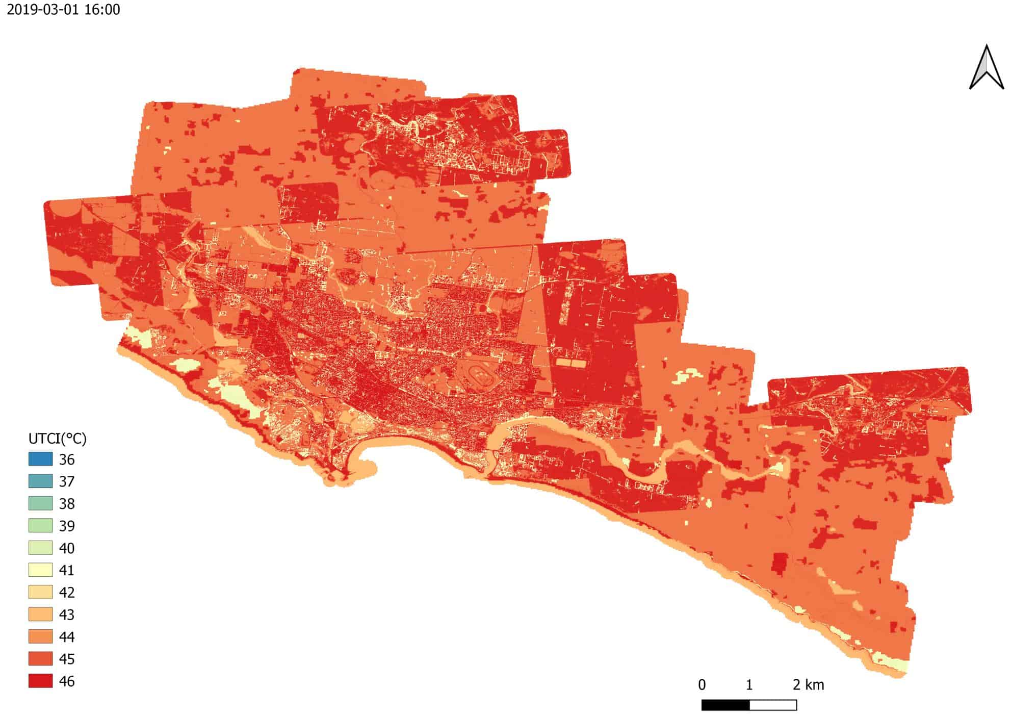
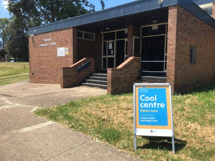
The heat hazard maps were produced at a scale suitable to enable identification of place-specific risk reduction measures to inform the development of a cool refuge plan and a preliminary urban forest plan. The Council are now progressing with their plans and associated actions to reduce the heat hazards in the most vulnerable areas.
Water Technology assessed the extent of bank erosion and determined the feasibility of bank treatment options...
Water Technology supported the development of the innovative mangrove wetland, from the vision to the conceptual design through to monitoring post construction...
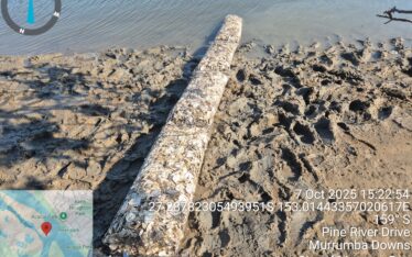
Water Technology provided support with the design and certification of oyster reef installations, in addition to monitoring and recording changes in the upstream and downstream locations of the oyster reefs...