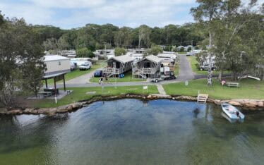
Restoring the Banks of Waterways in the Shoalhaven Region
Water Technology assessed the extent of bank erosion and determined the feasibility of bank treatment options...
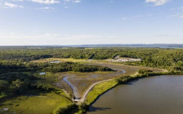
Jigalong is an remote community in the Pilbara. It is approximately 165 km east of Newman, in the Shire of East Pilbara. Jigalong is within the Nyiyaparli native title claim area. Jigalong Creek is immediately to the west of the community and a tributary of Jigalong Creek is immediately to the east. The land adjoining the creeks is of high cultural significance.
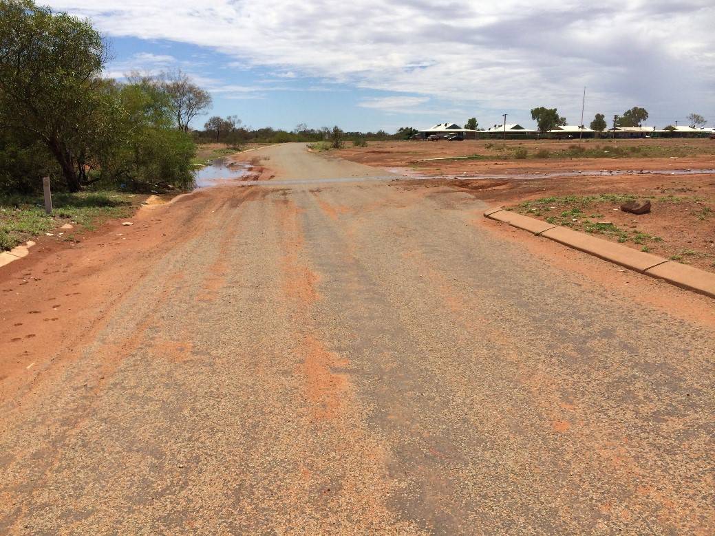
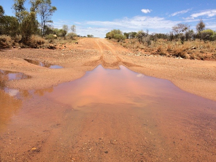
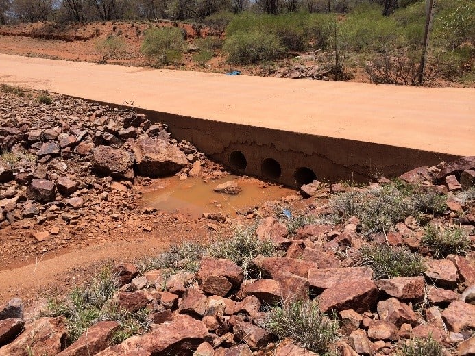
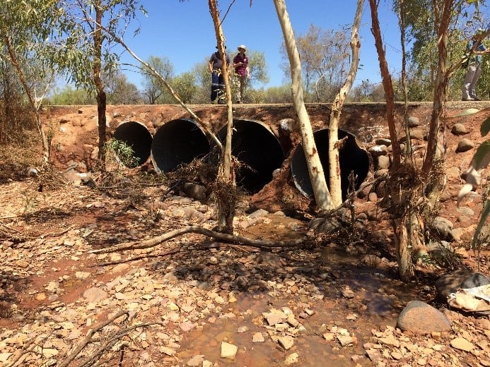
The Western Australia Department of Planning commissioned Water Technology to undertake a flood risk assessment of the Jigalong community. Water Technology completed the Flood Risk Assessment and Floodplain Management Strategy for the Jigalong Community, near Newman in the Pilbara. This work was undertaken to provide information to the Department of Planning on the risk of flooding and associated hazards to property and infrastructure at Jigalong, and possible mitigation measures and development constraints.
A comprehensive hydrologic and hydraulic modelling assessment was undertaken which provided estimates of flood flows, levels, extents, depths, and hazard, and formed the basis for floodplain and design flood mapping. The modelling revealed that Jigalong community is vulnerable to frequent, low hazard nuisance stormwater flooding, and less frequent but more severe flooding from Jigalong Creek and the tributary to the east of the community. A floodplain management strategy was developed with the object of minimising flood risk and damage, including possible flood mitigation measures.
Water Technology assessed the extent of bank erosion and determined the feasibility of bank treatment options...
Water Technology supported the development of the innovative mangrove wetland, from the vision to the conceptual design through to monitoring post construction...
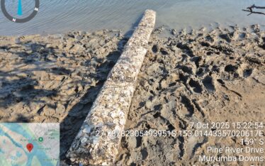
Water Technology provided support with the design and certification of oyster reef installations, in addition to monitoring and recording changes in the upstream and downstream locations of the oyster reefs...