Restoring the Banks of Waterways in the Shoalhaven Region
Water Technology assessed the extent of bank erosion and determined the feasibility of bank treatment options...
The Mary River catchment is located to the east of Darwin in the Northern Territory. Within the catchment there are many different land use types including low-lying coastal wetland ecosystems, pastoral leaseholds, the Mary River National Park and numerous creek systems.
Saltwater intrusion from erosion and widening of freshwater channels and Sea Level Rise (SLR) resulted in the significant loss of freshwater wetlands. Shady Camp Barrage was implemented as a management tool in the late 1970s to reduce further losses. In 1987, the Northern Territory Government began a saltwater intrusion program leading to the construction of numerous earthen barrages in the lower catchment.
Despite the positive benefits of the barrages for the freshwater wetlands, they can also have a detrimental effect on the landscape due to flow restrictions including a lack of nutrient cycling, reduced fish habitat, and barriers to the natural processes of mangrove and marsh colonisation. This often leaves a landscape that is saline and unable to adapt to form sustainable and productive mangrove wetlands. The resulting land is marginal in terms of pastoral use and has a limited resilience to Sea Level Rise.
Support the assessment of the potential to restore mangroves and demonstrate the benefits for carbon sequestration (or Blue Carbon)
Adelaide and Mary River Catchments Northern Territory
Charles Darwin University
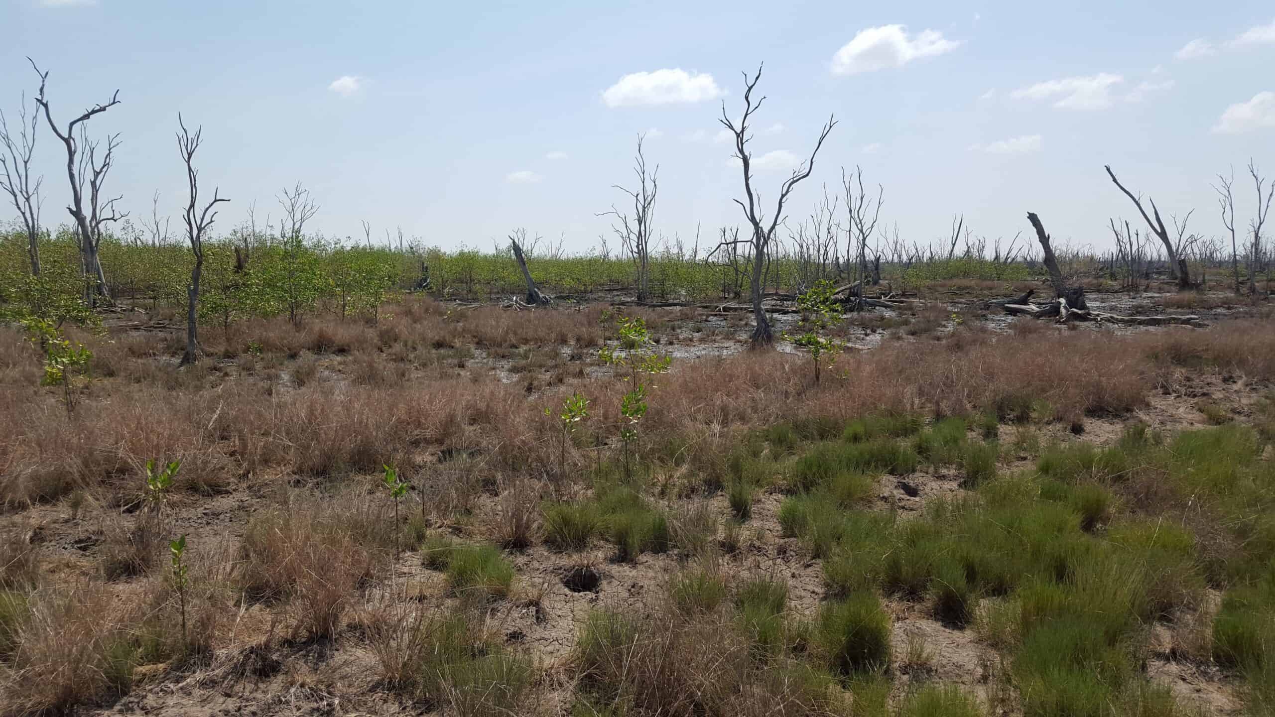
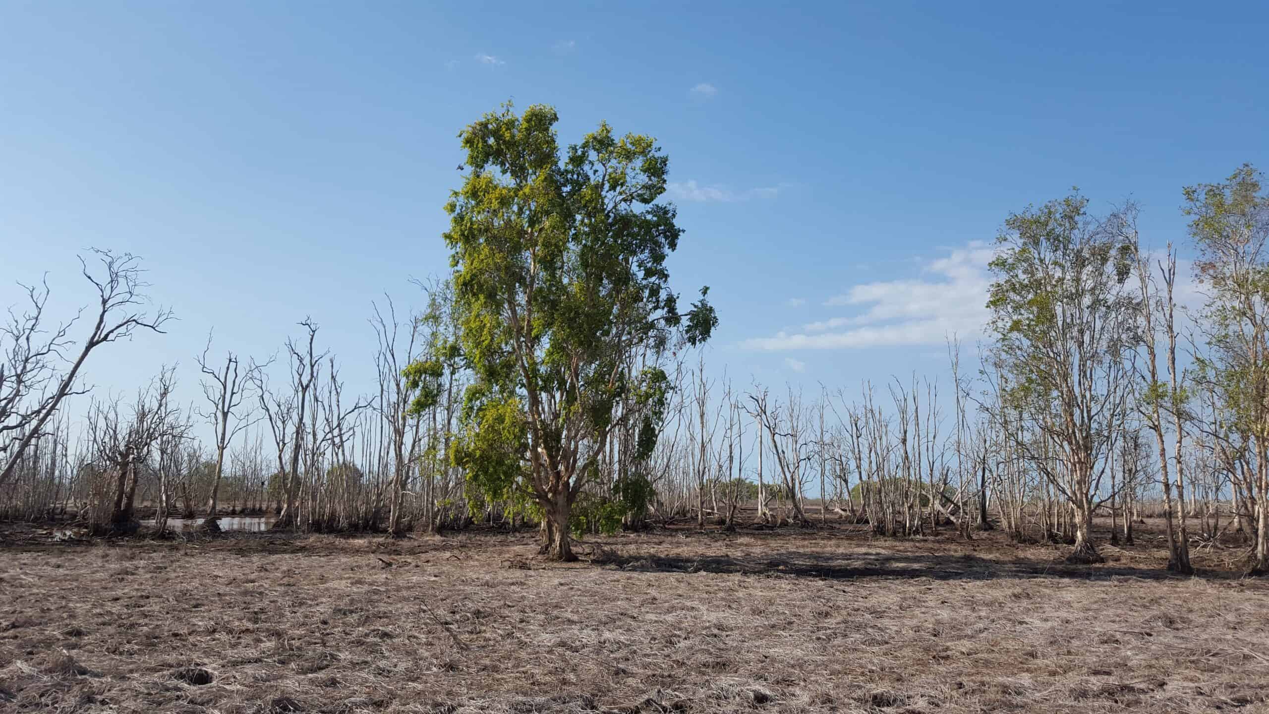
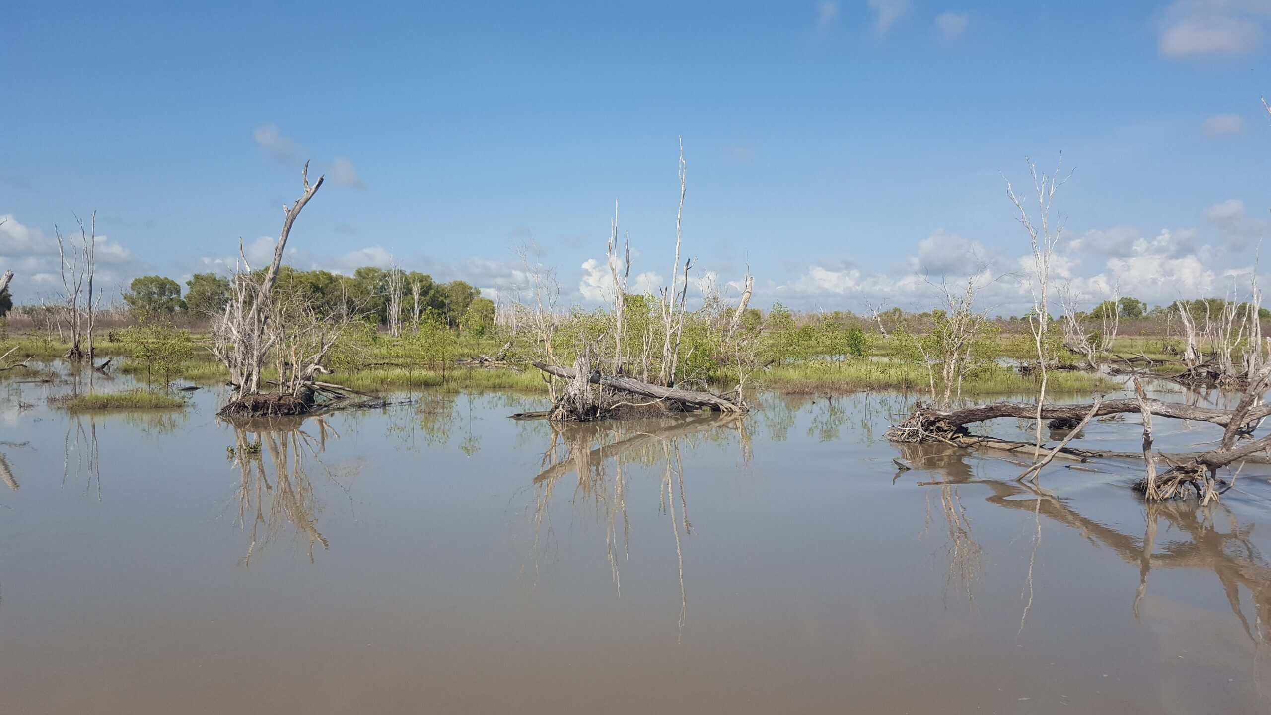
In areas of the Mary River without active barrages (barrages that failed and are not restricting flow) the landscape is in natural transition from freshwater melaleuca to mangrove communities. Proving that the removal of barrages can lead to long-term benefits and resilience as mangrove wetlands rise with sea level rise and can continue to thrive.
Water Technology were engaged by Charles Darwin University to assess the potential for active intervention and restoration in the Lower Mary River catchment by establishing Blue Carbon sites.
Water Technology used spatial analysis to identify land tenure and existing barrage locations with 110 barrages identified. Sentinel imagery from 2015 to 2022 was assessed to visually determine changes to the extent of the mangroves. The findings included that where earthen barrages are no longer effective the mangrove areas have expanded. However, in other areas where the barrages are intact, there was limited or no mangrove expansion.
Hydrodynamic modelling was undertaken to assess changes upstream of the barrages and modelling of changes to inundation from potential barrage removal at a number of selected sites.
Preliminary Blue Carbon Assessment Method (or BlueCAM) modelling was also undertaken to estimate the potential Australian Carbon Credit Units (ACCUs) generated at each site selected and the associated potential revenue. There were three sites in the Mary River catchment and one in the Adelaide River catchment that were found to have potential for Blue Carbon rehabilitation by active barrage removal to restore tidal flows to upstream areas.
Further detailed modelling of key sites, including sea level rise modelling, indicated that positive benefits are highly likely.
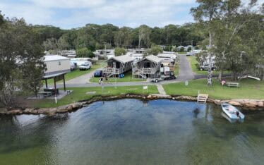
Water Technology assessed the extent of bank erosion and determined the feasibility of bank treatment options...
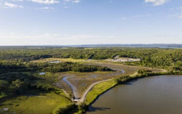
Water Technology supported the development of the innovative mangrove wetland, from the vision to the conceptual design through to monitoring post construction...
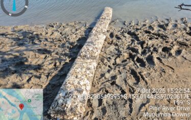
Water Technology provided support with the design and certification of oyster reef installations, in addition to monitoring and recording changes in the upstream and downstream locations of the oyster reefs...