Restoring the Banks of Waterways in the Shoalhaven Region
Water Technology assessed the extent of bank erosion and determined the feasibility of bank treatment options...
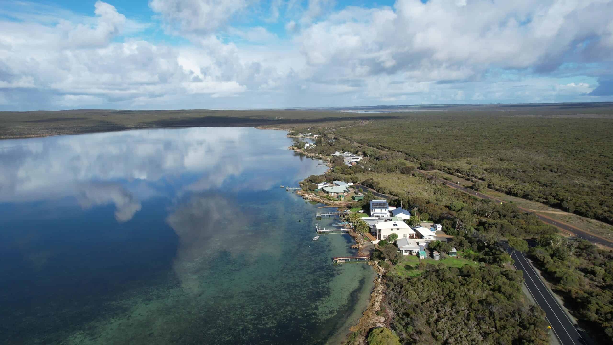
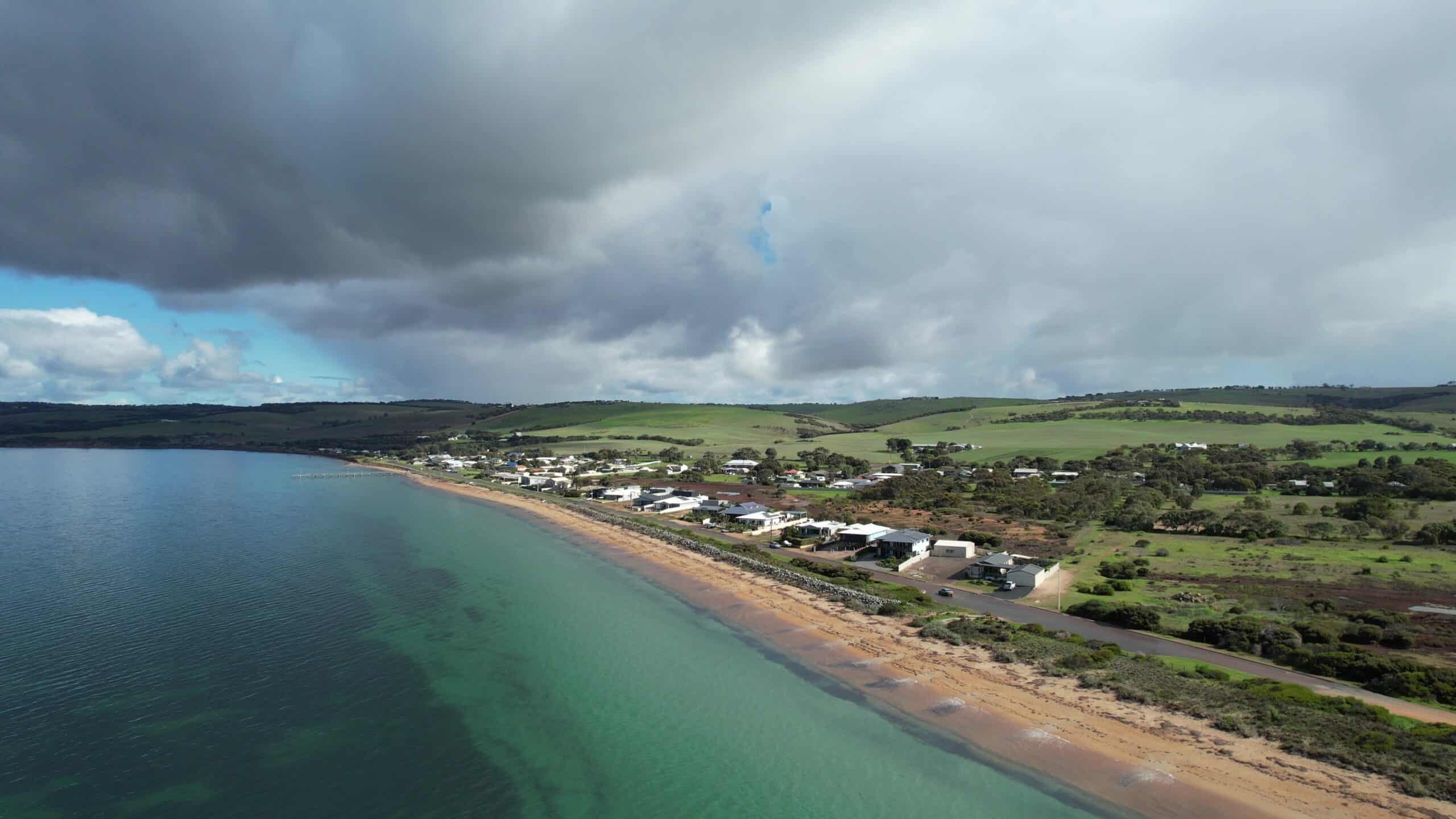
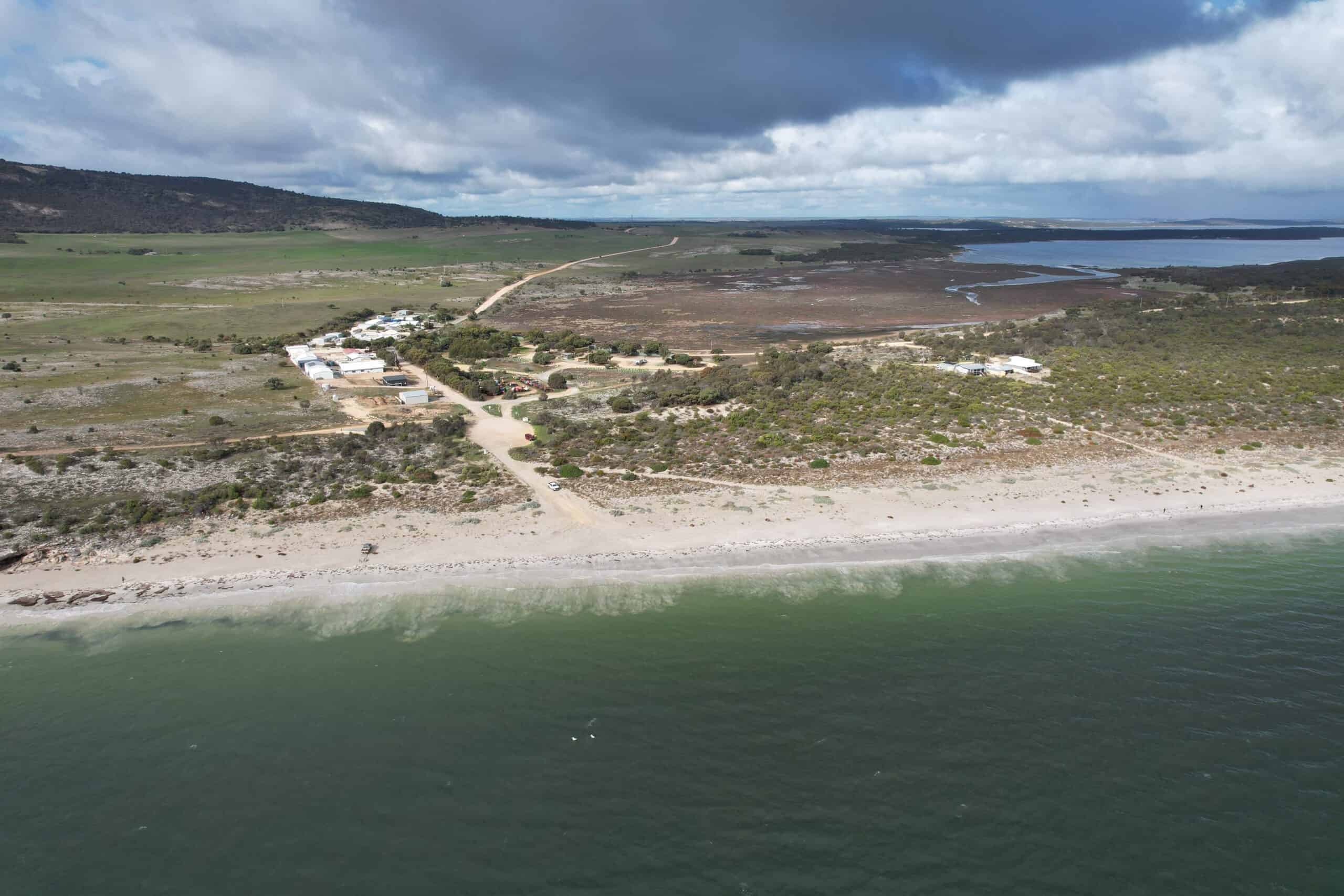
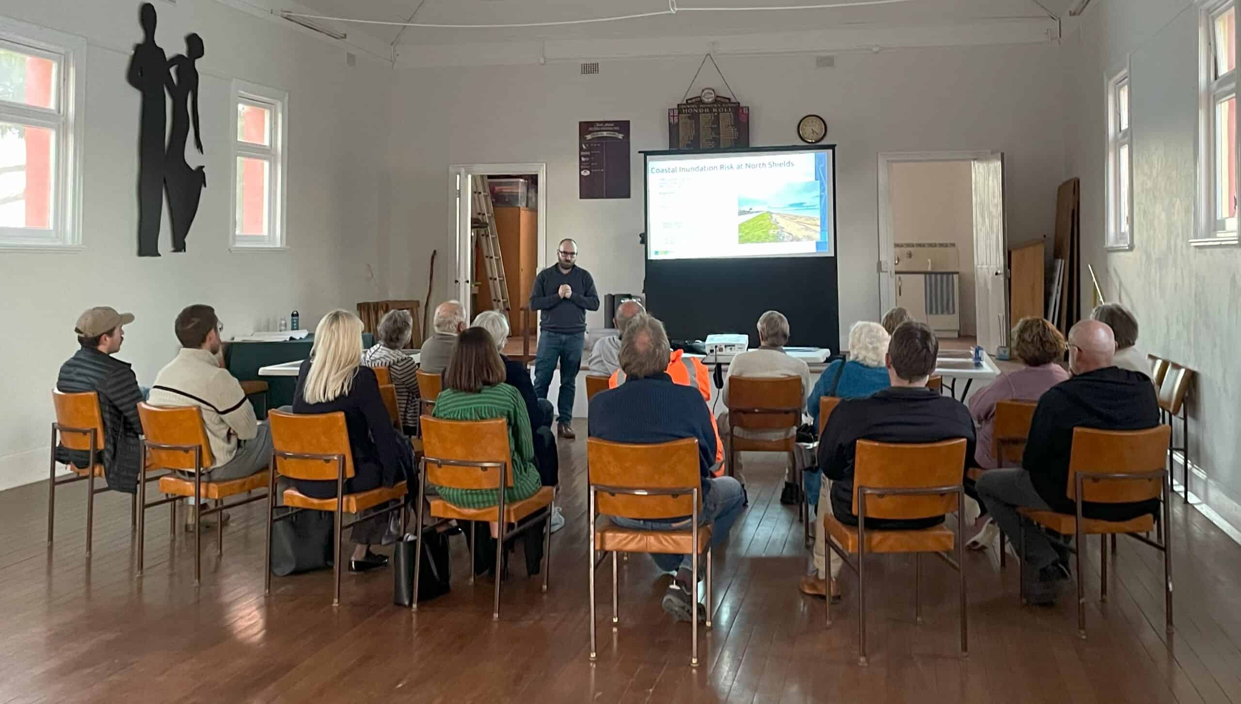
The coastlines of the Lower Eyre Peninsula are cherished by both locals and visitors, celebrated for their stunning views, pristine natural environment, and abundant recreational opportunities. However, like many coastal areas, the townships of North Shields, Tulka, and Farm Beach face vulnerabilities from natural hazards such as coastal erosion and flooding. These risks are expected to increase over coming decades due to climate change and sea level rise.
To address these risks, Lower Eyre Council is taking a proactive approach and engaged Water Technology and Rhelm to develop a Coastal Adaptation Strategy for the coastal settlements of North Shields and Tulka and Emergency Management Plans for the townships of Tulka and Farm Beach.
This work included data collection, inundation and coastal flooding assessments, erosion assessments, risk assessments, identification and evaluation of potential adaptation responses and community and stakeholder consultation.
Help to develop Coastal Adaptation Strategies and Emergency Management Plans for townships on the Eyre Peninsula
North Shields, Tulka and Farm Beach South Australia
Lower Eyre Council
The Coastal Adaptation Strategy was developed in line with the South Australian Local Government Coastal Adaptation Guidelines, following a six-stage process – and included:
The Coastal Adaptation Strategy provides Lower Eyre Council with a robust, evidence-based framework to manage coastal hazard risks while aligning with state policy and community aspirations. It enables proactive, cost-effective investment in resilience measures and ensures that adaptation actions are technically sound, feasible, and widely supported.
The Emergency Management Plans for Tulka and Farm Beach include:
Water Technology assessed the extent of bank erosion and determined the feasibility of bank treatment options...
Water Technology supported the development of the innovative mangrove wetland, from the vision to the conceptual design through to monitoring post construction...
Water Technology provided support with the design and certification of oyster reef installations, in addition to monitoring and recording changes in the upstream and downstream locations of the oyster reefs...