Remote Groundwater Monitoring Review and Implementation
Reviewing the groundwater monitoring program and providing suggestions for improvements...
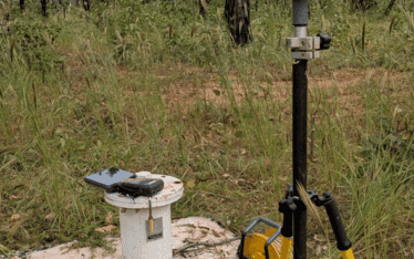
Reviewing the groundwater monitoring program and providing suggestions for improvements...
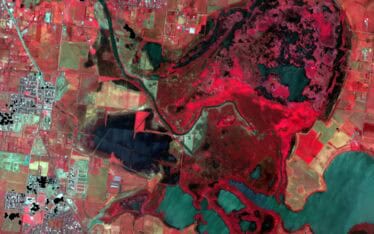
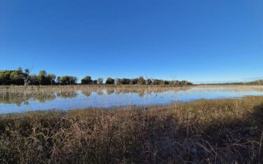
Mapping vegetation changes against the prevailing hydrological regime for Reedy Lake...
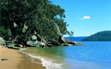
Helping to develop Stages 3 and 4 of the Hawkesbury-Nepean River System Coastal Management Program ...

Helping to develop a cultural restoration strategy for the Hawkesbury River Estuary in collaboration with First Nations Groups...
Working to better understand how Indigenous Knowledge and First Nations land management practices could be incorporated into technical projects for landscape management, rehabilitation and resilience outcomes...
The water quality of the Brisbane River can be improved through management of popular recreation sites along the River...
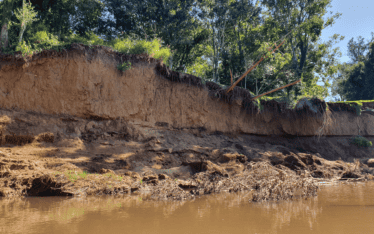
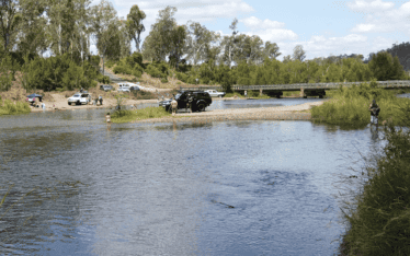
A management approach for the ongoing erosion of Stanley River was developed based on site assessments, modelling and detailed designs...
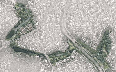
Nature based solutions were developed to improve Flat Rock Creek following detailed technical assessments and community engagement....