Using Palaeoflood Hydrology to Inform Improvements to Paradise Dam
Using palaeohydrologic information to inform improvements to Paradise Dam...
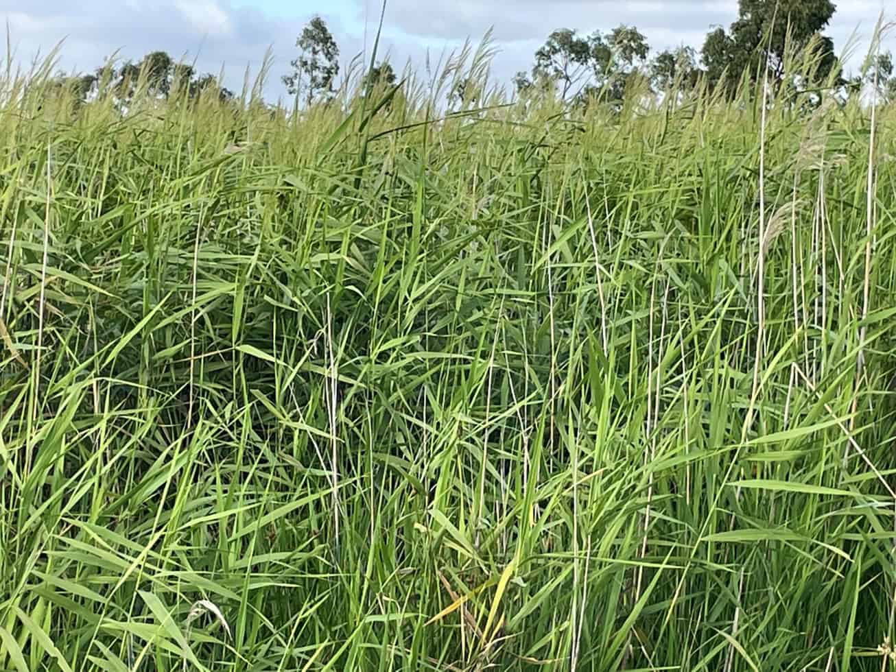
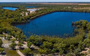
Reedy Lake is a large, shallow, brackish wetland located at the estuarine end of the Barwon River system and forms part of the Lower Barwon Wetlands, to the southeast of Geelong. The Lower Barwon Wetlands were formally recognised as part of the Port Phillip Bay (Western Shoreline) Ramsar site in 1983. The wetlands are also recognised as an area of cultural heritage significance and of high recreational value to the local communities.
Changes to the hydraulics and management of Reedy Lake from 1970 until 2016 changed the natural wetting and drying cycle of the wetland. In 2016, Corangamite Catchment Management Authority started a long-term process to rebalance the diversity of habitats and restore the site’s threatened ecological values.
The Corangamite Catchment Management Authority was keen to understand whether the Ramsar Limits of Acceptable Change (LAC) and the environmental watering objective were being met at Reedy Lake.
Map the change in extent of vegetation types against the prevailing hydrological regime for Reedy Lake
Bellarine Peninsula Victoria
Corangamite Catchment Management Authority

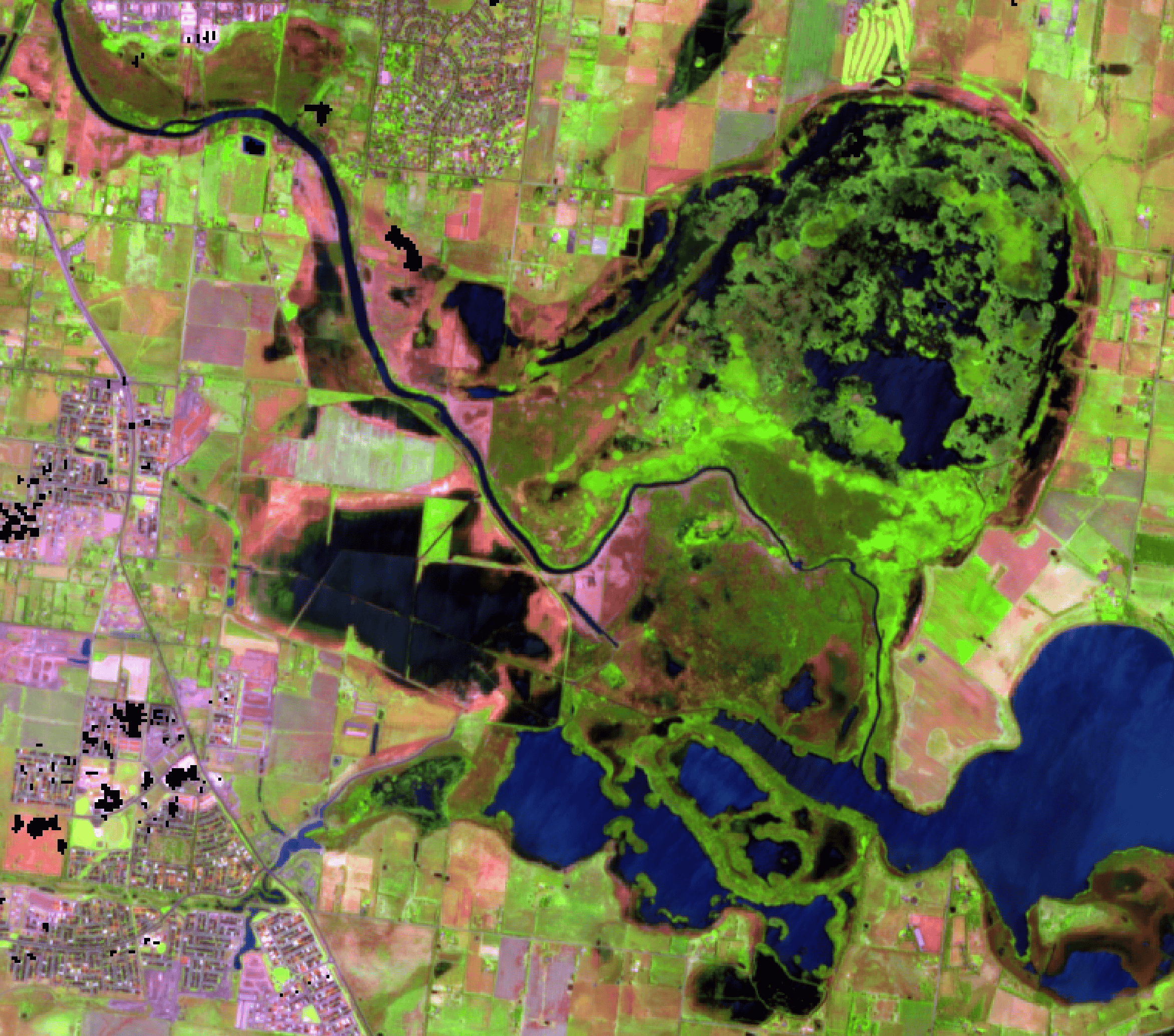

Water Technology, Lloyd Environmental and Carew Environmental worked together with the Corangamite Catchment Management Authority to develop a consolidated time-series of the change in extent of vegetation types from 1983 to the present, mapped to a consistent classification, with those changes assessed against the prevailing hydrological regime for Reedy Lake.
The team applied an innovative remote sensing approach, optimised for use in the wetlands, which relied on automated satellite imagery classification to detect vegetation types and extents for each timestep of interest. The result was the generation of an almost 40-year time series of change.
There is now a robust and cost effective method the Corangamite Catchment Management Authority can use to monitor future changes in vegetation extents every two years, building on the baseline we have established in this project.
Using palaeohydrologic information to inform improvements to Paradise Dam...
Assessing the availability of water resources for potential hydrogen production...
Assessing the effects of environmental watering on groundwater and vegetation health...
