Restoring the Banks of Waterways in the Shoalhaven Region
Water Technology assessed the extent of bank erosion and determined the feasibility of bank treatment options...
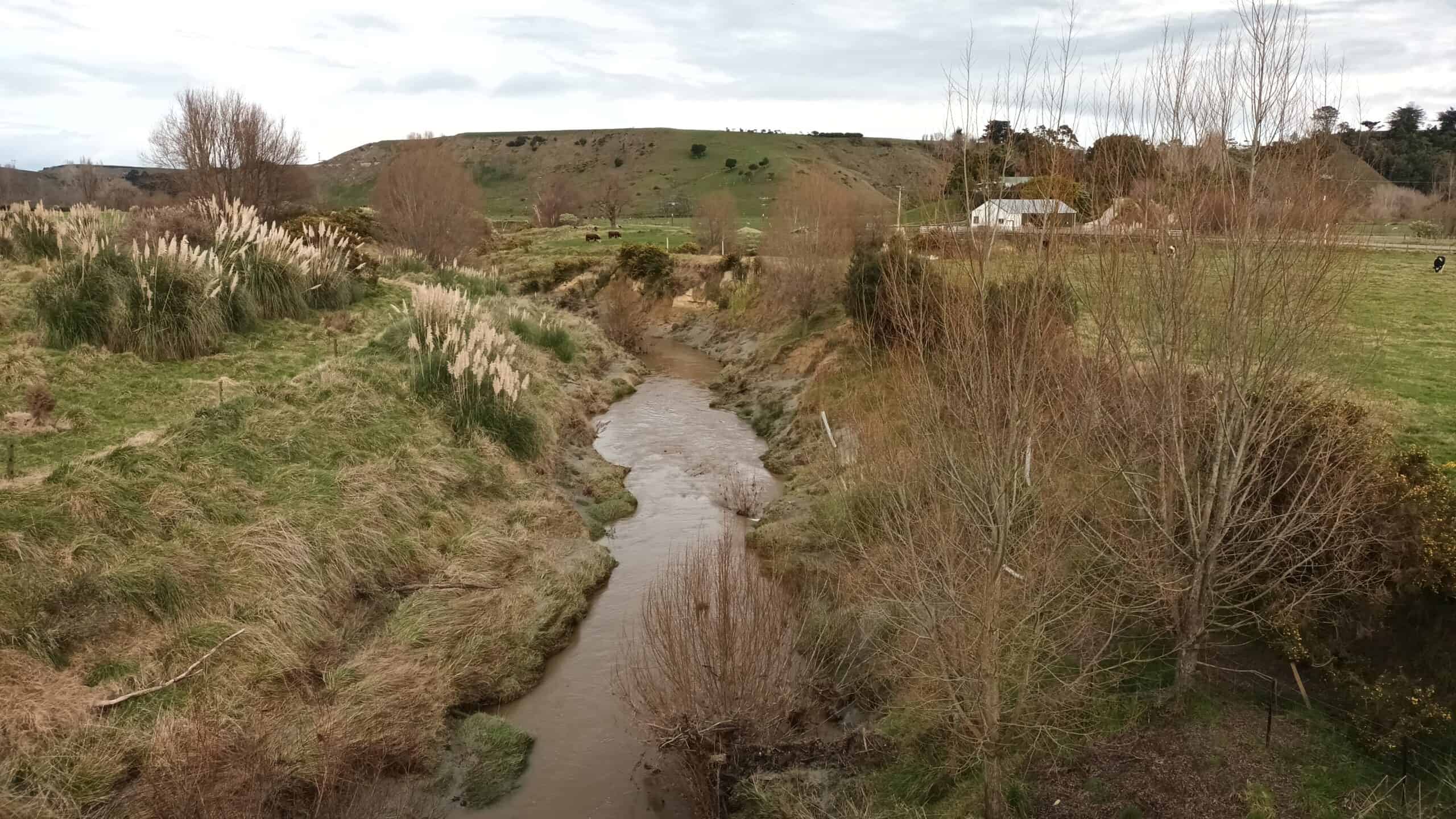
Riverine flooding can result in widespread infrastructure and river bed damage, in addition to disruption and distress to the communities affected. Flooding is the most common hazard in New Zealand in terms of frequency, losses and declared emergencies.
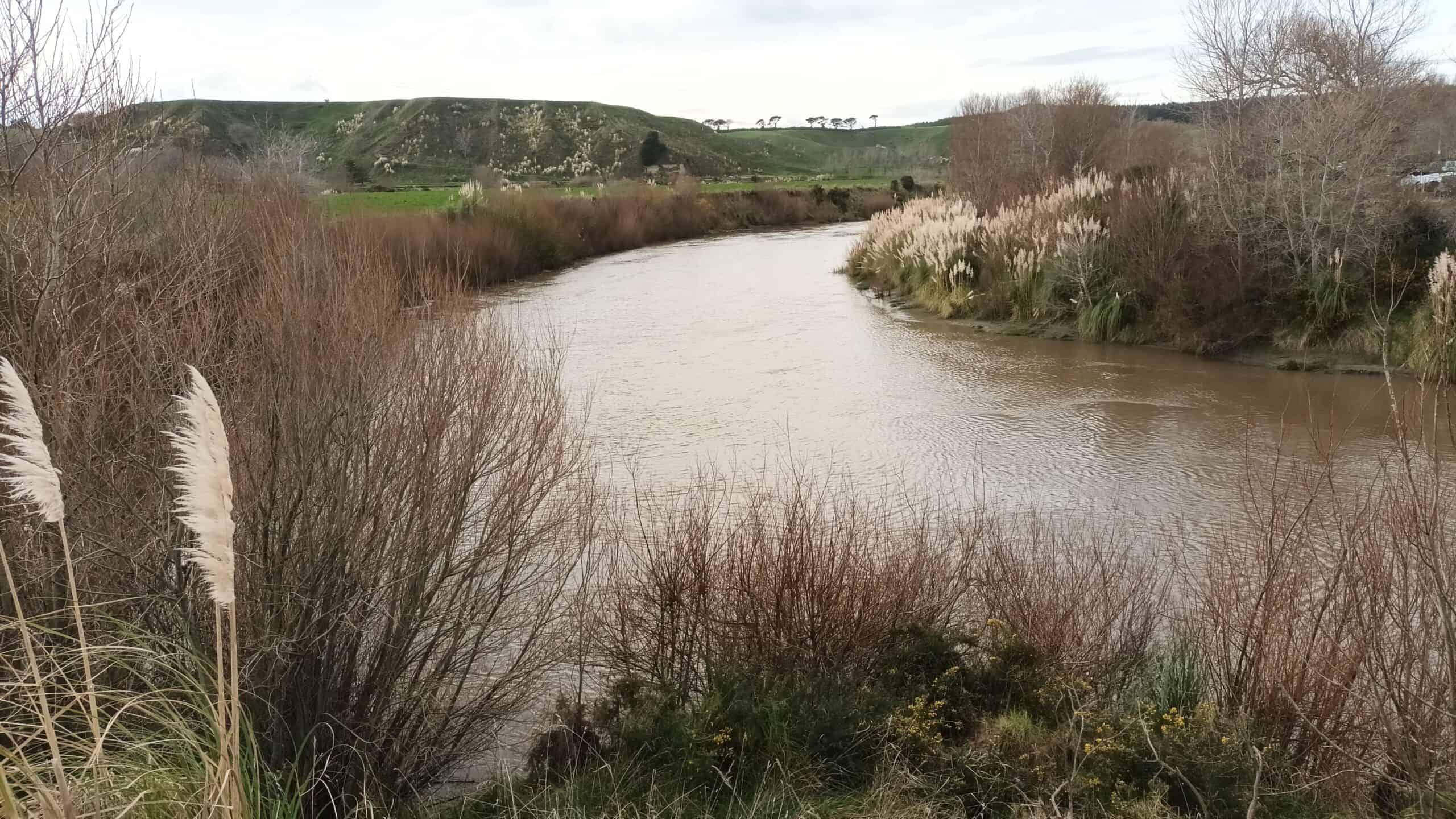
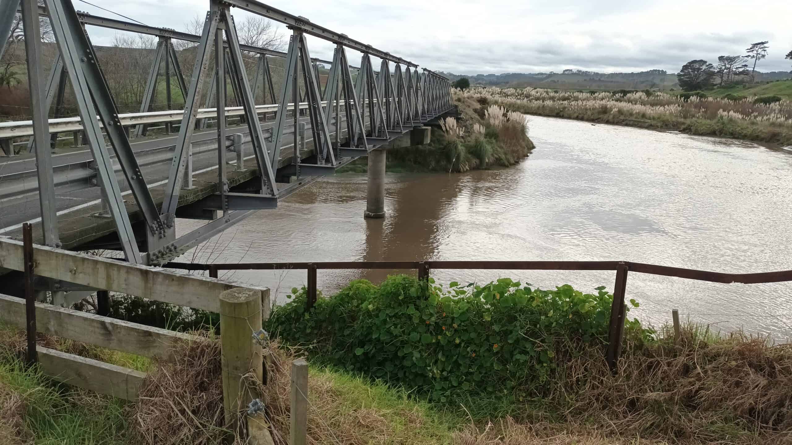
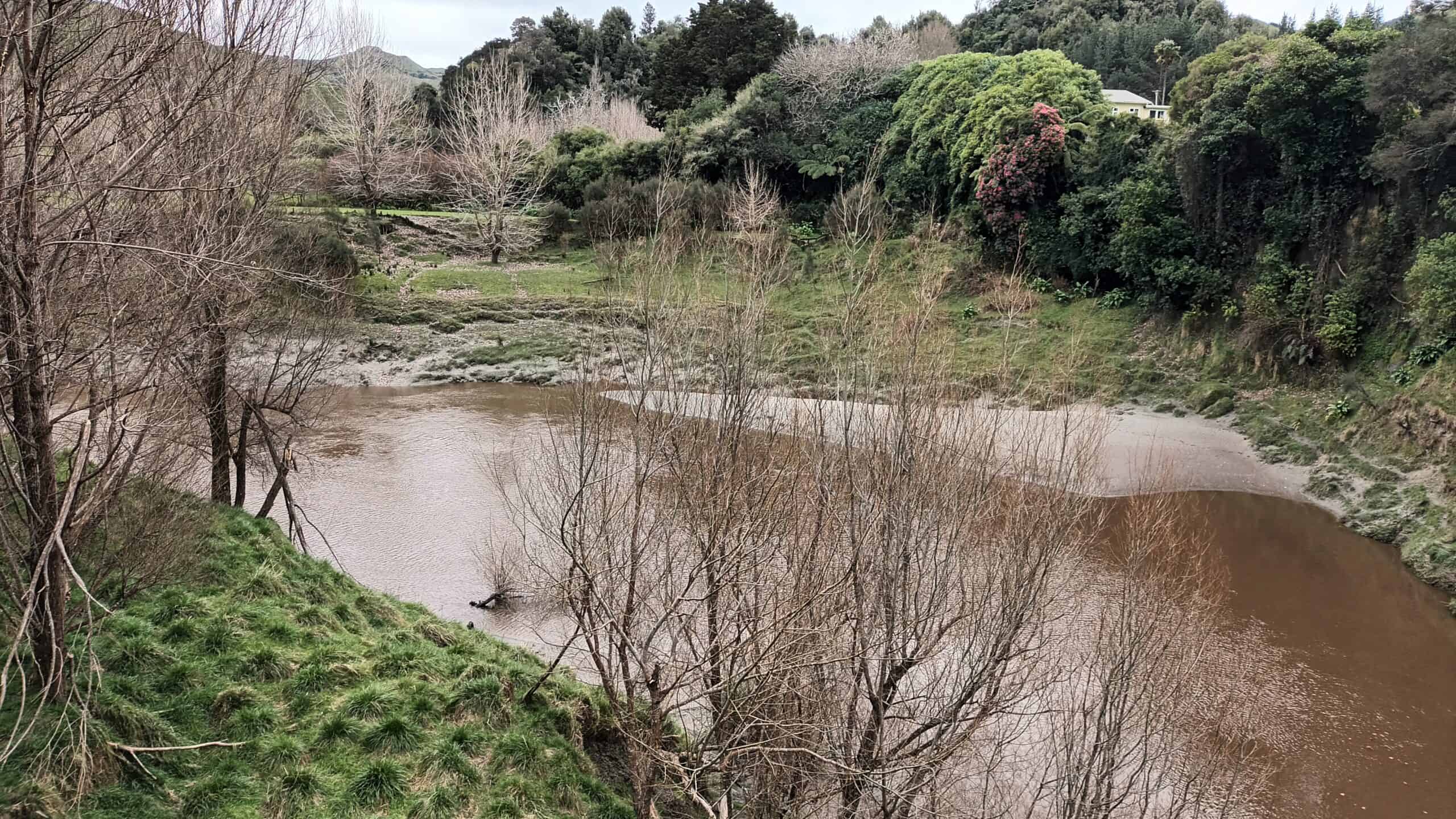
The Waitōtara catchment had experienced several large flooding events in 2004, 2011, 2015 and 2018. The 2004 event was the most significant in recent years, with 41 homes inundated within the Waitōtara township, and 14 later condemned. The iwi (extended kinship group) also has several Marae (local gathering place) and other cultural significant sites (including cemeteries/urupā) which they want to protect against future flooding associated with climate change.
Water Technology worked collaboratively with both Taranaki Regional Council and the local community to identify potential nature-based solutions which could make a difference to flood risk in the Waitōtara catchment.
Review the past flooding events, create a model and validate the outputs in collaboration with the Council and Community
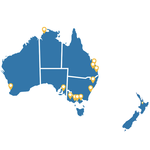
Waitōtara Catchment New Zealand
Taranaki Regional Council
Water Technology developed a hydraulic model using TUFLOW HPC, calibrated against two events (June 2015 and June 2018) using available gauges with record stage and flow.
Water Technology worked closely with both Taranaki Regional Council and residents to validate the model with their local knowledge and recollection of events.
The engagement included:
• Meeting with Te Kaahui o Rauru early in the project, to discuss their aspirations for community resilience and identify locations of significant community assets;
• Two community meetings (hui), where the initial model results were presented and discussion around model results against historical and anecdotal evidence occurred; and
• The development of an online flood portal to enable residents to share photos of flooding events which was led by the Taranaki Regional Council.
The outcomes were that the community were interested in nature-based solutions for the catchment, as they are concerned by water quality and biodiversity issues.
However, flooding was looked at from a different perspective. Residents wanted hard engineering interventions to address the existing flood risks. The nature, extent and hardship of flooding experienced in Waitōtara (in the township and near the Marae) led the community members to ask for stopbank, bypass and pump options. Additionally, the confined or margin-controlled nature of the streams in the catchment also limited opportunities for nature-based solutions to materially influence flooding.
Desktop assessment and modelling was still completed to help understand the potential benefit of the Taranaki Regional Council soil conservation initiative.
A subsidy program was developed by the Taranaki Regional Council to help reduce erosion in the hill country and activities include afforestation of slopes with a gradient greater than 35 degrees. Slope afforestation increases surface roughness and infiltration losses on the steeper slopes where rainfall runs off quickly. This both delays and reduces rainfall runoff from the steep slopes which consequently reduces the peak flood levels in waterways. There are also benefits such as the reduction of sediment entering the waterways due to the afforestation stabilising steeper slopes.
Afforestation across the whole Waitōtara catchment showed a decrease in flood levels in Waitōtara Township of 40-50 mm to the west of State Highway 3 during a 20-year event culminating in a 53 mm decrease near Waitōtara Community Hall. There was also some redistribution of flooding, with both increases (including near Marae) and reductions observed across the catchment area.
Other nature-based solutions, such as leaky weirs and riparian vegetation were also tested in the models, with similar results.
Water Technology assessed the extent of bank erosion and determined the feasibility of bank treatment options...
Water Technology supported the development of the innovative mangrove wetland, from the vision to the conceptual design through to monitoring post construction...
Water Technology provided support with the design and certification of oyster reef installations, in addition to monitoring and recording changes in the upstream and downstream locations of the oyster reefs...